
Introduction
The United States Geological Survey (USGS) has recently embarked on a groundbreaking initiative to launch a drone mapping program specifically designed for monitoring wildfire burn scars. This innovative program promises to revolutionize the way scientists and environmentalists assess the damage caused by wildfires and facilitate recovery efforts in affected areas.
The Importance of Monitoring Burn Scars
Wildfires are becoming increasingly frequent and severe due to a combination of climate change and human activities. These destructive events not only devastate ecosystems but also pose long-term risks to biodiversity, soil stability, and water quality. Effective monitoring of burn scars is crucial for several reasons:
- Ecological Recovery: Understanding how ecosystems recover from fire events helps in planning reforestation and rehabilitation projects.
- Soil Erosion Prevention: Burn scars can lead to increased soil erosion, which can pollute waterways and degrade landscapes.
- Wildlife Habitat Assessment: Burn scars can significantly alter wildlife habitats, making it essential to monitor these changes to aid in conservation efforts.
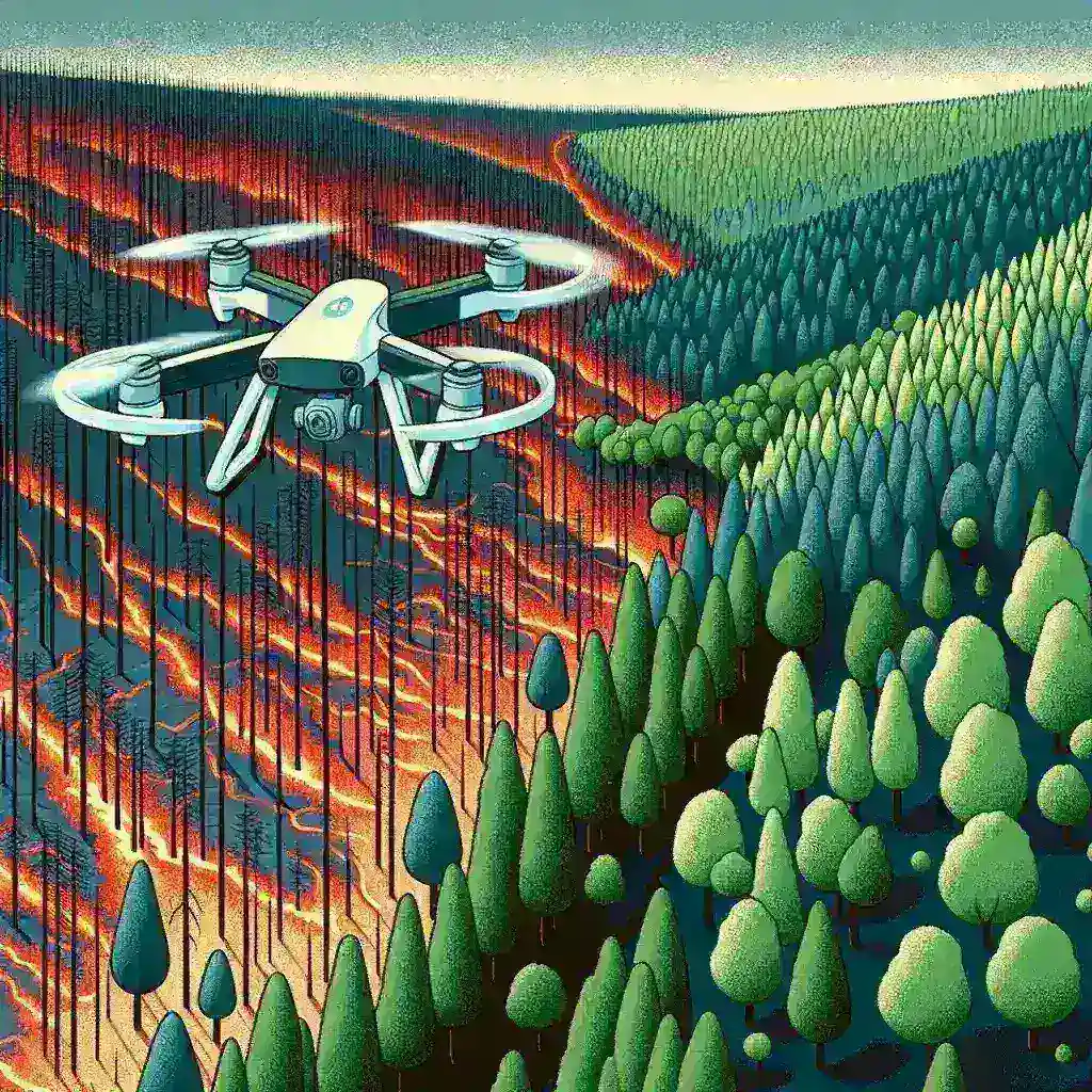
How the Drone Mapping Program Works
The USGS’s drone mapping program employs advanced aerial technology to collect high-resolution data on burn scars. Here’s how it works:
1. Drone Deployment
Equipped with state-of-the-art cameras and sensors, drones are deployed over recently burned areas. These drones can cover vast landscapes quickly and efficiently, capturing detailed images and data.
2. Data Collection
The drones collect various types of data, including infrared imagery, which can reveal the extent of vegetation loss and soil damage. This data is crucial for understanding the impact of the fire on the environment.
3. Data Analysis
Once the data is collected, it is processed and analyzed using sophisticated software. This analysis helps scientists map out burn scar boundaries, assess vegetation recovery, and identify areas that may require immediate attention.
Benefits of Using Drones for Burn Scar Monitoring
The integration of drone technology into burn scar monitoring offers several advantages:
- Cost-Effectiveness: Drones are typically less expensive to operate than traditional aerial surveys, making them a more sustainable option for ongoing monitoring.
- Rapid Response: Drones can be deployed quickly following a wildfire event, allowing for timely data collection and analysis.
- Accessibility: Drones can access difficult terrain that may be unsafe or impossible for ground crews, ensuring comprehensive monitoring.
Historical Context of Wildfire Monitoring
Historically, monitoring wildfire burn scars has relied on ground surveys and satellite imagery, both of which have limitations. Ground surveys can be time-consuming and labor-intensive, while satellite images may not provide the resolution needed for detailed assessments. The introduction of drone technology marks a significant advancement in wildfire monitoring, bridging the gap between traditional methods and modern technological solutions.
Future Predictions and Implications
As climate change continues to exacerbate wildfire frequency and intensity, the demand for efficient monitoring systems will only increase. The USGS’s drone mapping program sets a precedent for future innovations in environmental monitoring. Predictions suggest:
- Increased Adoption of Drone Technology: More agencies and organizations may adopt drone technology for a variety of environmental monitoring purposes.
- Improved Data Integration: The data collected by drones can be integrated with other environmental data systems, enhancing overall ecological management.
- Public Awareness and Participation: As awareness of wildfire impacts grows, there may be more opportunities for community involvement in monitoring and recovery efforts.
Challenges and Considerations
Despite the many advantages of drone technology, there are challenges that need to be addressed:
- Regulatory Hurdles: Navigating the regulatory environment for drone usage can be complex, particularly in sensitive areas.
- Data Privacy Concerns: The use of drones raises questions about privacy and data security, necessitating clear policies and guidelines.
- Technical Limitations: While drones are highly effective, they are not infallible; adverse weather conditions can hinder their operation.
Real-World Examples of Successful Monitoring
Several case studies illustrate the successful application of drone technology in monitoring wildfire burn scars:
The 2020 California Wildfires
Following the devastating wildfires in California in 2020, several organizations utilized drones to assess the burned areas. The resulting data played a critical role in shaping recovery efforts and informing land management strategies.
Australia’s Bushfire Recovery
In Australia, drones were deployed after the catastrophic bushfires of 2019-2020, providing invaluable insights into soil health and recovery potential, which aided in restoration planning.
Conclusion
The USGS’s launch of a drone mapping program for wildfire burn scar monitoring represents a significant advancement in environmental science and management. By harnessing the power of drone technology, this initiative has the potential to enhance recovery efforts, protect ecosystems, and ultimately contribute to better stewardship of our natural resources. As we face an uncertain future influenced by climate change, such innovative approaches will be crucial in preserving the health of our planet.